Professional Utility Locating & Mapping Services in Seattle , WA
Professional Private Utility Locating, Utility Marking, GPR & Concrete Scanning, Underground Utility Mapping, and GPS/GIS Mapping Services Across Seattle
What Utility Locating Services Are Available in Seattle?
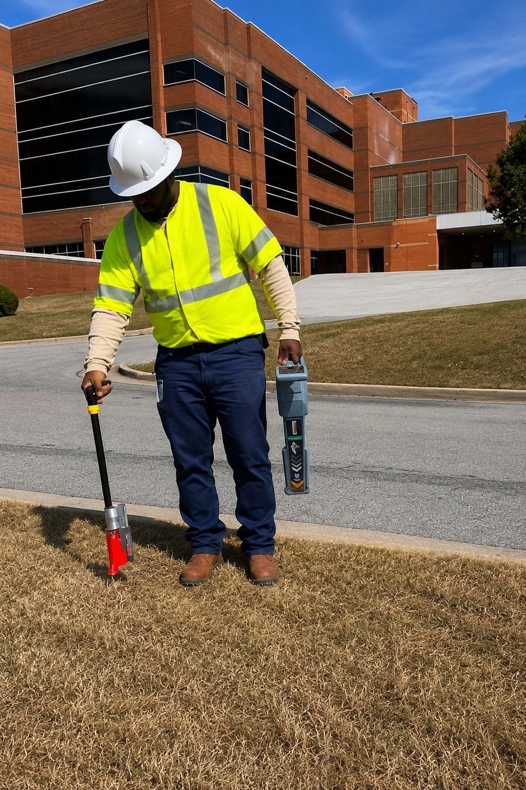
Seattle property owners, contractors, engineers, and developers can access professional utility locating services to identify underground pipes, cables, conduits, and other buried infrastructure. Accurate locating helps provide a clearer understanding of subsurface conditions.
Our private utility locating services use advanced detection methods to identify underground utilities that may not be included in standard public utility records. This information can help support safer excavation, drilling, construction, and development projects.
With professional utility locating and mapping services, projects in Seattle can be planned with greater confidence. Accurate utility information can help reduce the risk of utility strikes, unexpected delays, costly repairs, and unnecessary excavation.
Why Is GPR Scanning Important Before Excavation in Seattle?
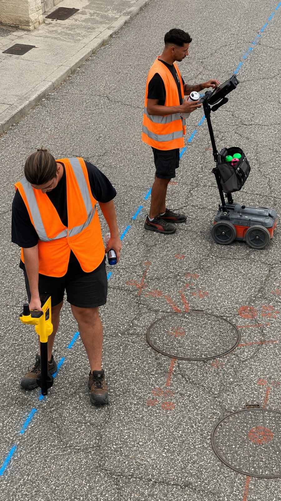
Seattle construction and excavation projects can benefit from Ground Penetrating Radar (GPR) scanning before drilling, digging, cutting, or other ground-disturbing work. GPR helps detect subsurface features without requiring unnecessary excavation.
Professional GPR scanning services can help locate buried utilities, conduits, voids, rebar, post-tension cables, and other hidden structures. This valuable information supports better planning and helps crews understand potential underground conditions.
Using GPR scanning before construction in Seattle can help improve jobsite safety and reduce the possibility of damaging hidden infrastructure. Early detection can also help minimize project disruptions, unexpected costs, and construction delays.
What Is Underground Utility Mapping Used For in Seattle?
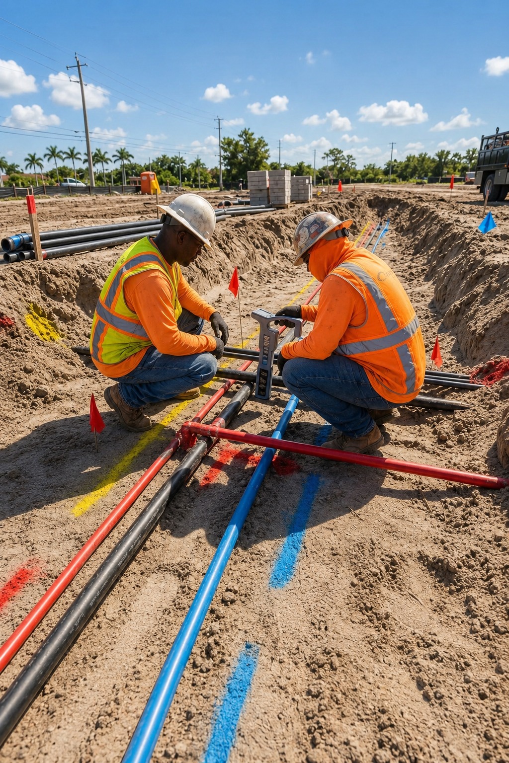
Seattle projects can use underground utility mapping to identify and document buried infrastructure such as water lines, electrical cables, gas pipes, communication lines, and other underground utilities. Detailed mapping provides useful information for project planning.
Our underground utility mapping services combine advanced locating techniques with accurate field information to create a clearer representation of subsurface infrastructure. This can help contractors, engineers, and developers understand utility locations before construction begins.
Accurate utility mapping supports safer excavation and more efficient project planning in Seattle. Reliable underground utility information can help reduce utility conflicts, prevent unnecessary digging, and improve decision-making throughout construction and development projects.
Our Services
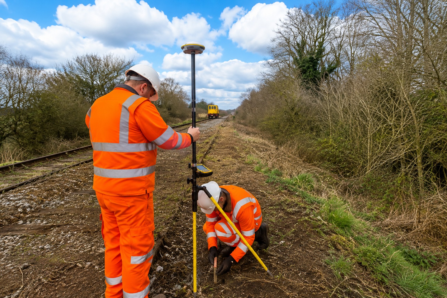
Accurate underground utility mapping identifies buried pipes, cables, and lines, helping construction teams plan excavation safely and avoid costly utility damage.
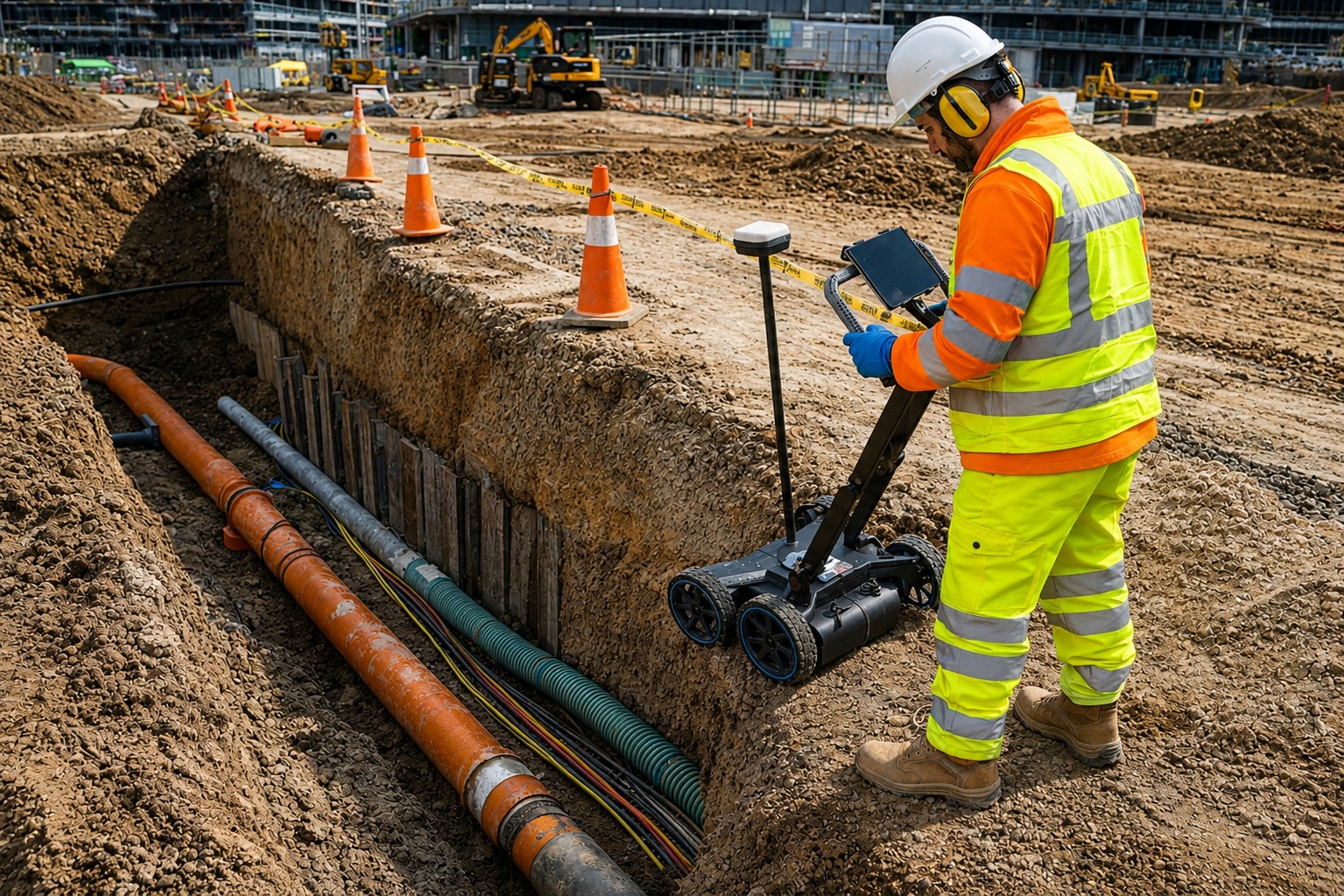
Ground Penetrating Radar (GPR) scanning detects buried objects, voids, and structures beneath surfaces, supporting safer excavation and informed project planning.
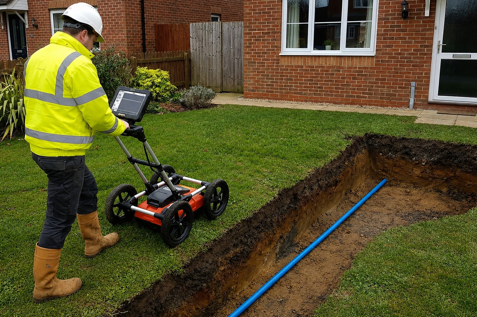
GPS/GIS utility mapping creates accurate digital records of underground infrastructure, helping teams track utility locations and plan construction with confidence.
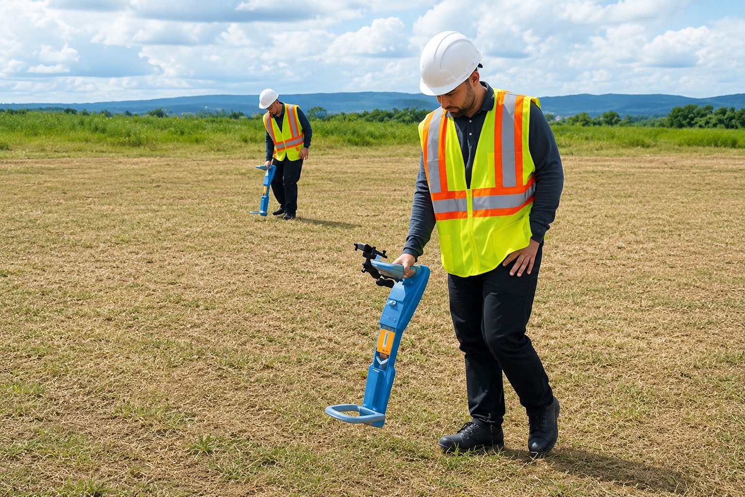
Private utility locating identifies privately owned underground lines on a property, helping contractors reduce strike risks before digging, drilling, or excavation.

Concrete scanning services detect rebar, post-tension cables, conduits, and other embedded objects, helping teams safely drill, cut, and modify concrete.
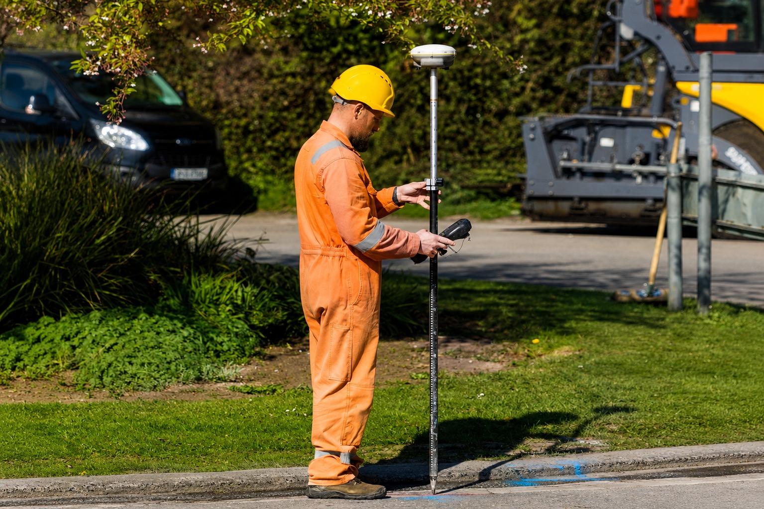
Utility marking clearly identifies detected underground lines on site, giving crews visible reference points to support safer excavation, digging, and construction.
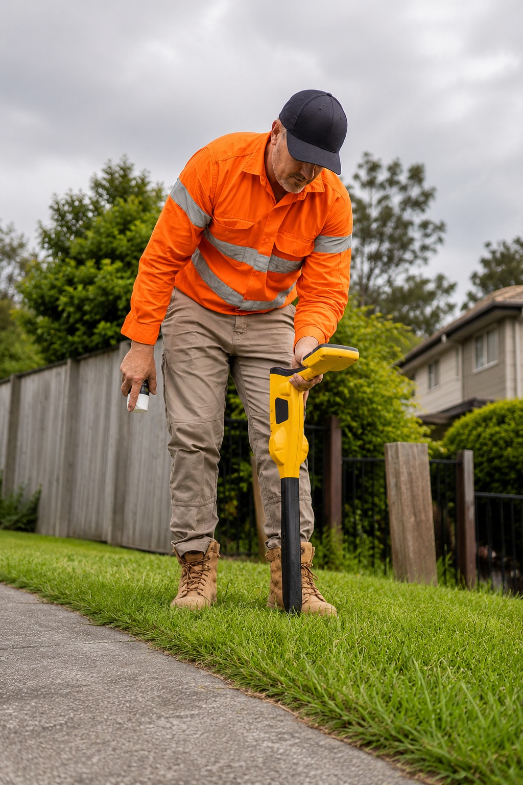
Do You Provide Private Utility Locating and Utility Marking in Seattle?
Yes, professional private utility locating and utility marking services are available for projects throughout Seattle. These services help identify underground utilities and provide visible surface markings for crews working on excavation and construction projects.
Our utility marking services can identify the approximate paths of detected underground infrastructure, including pipes, electrical lines, communication cables, and other buried utilities. Clear markings provide useful visual references before ground-disturbing work begins.
Combining private utility locating with accurate utility marking can help projects in Seattle operate more safely and efficiently. Visible markings can reduce confusion in the field and help crews avoid potential utility conflicts during excavation.
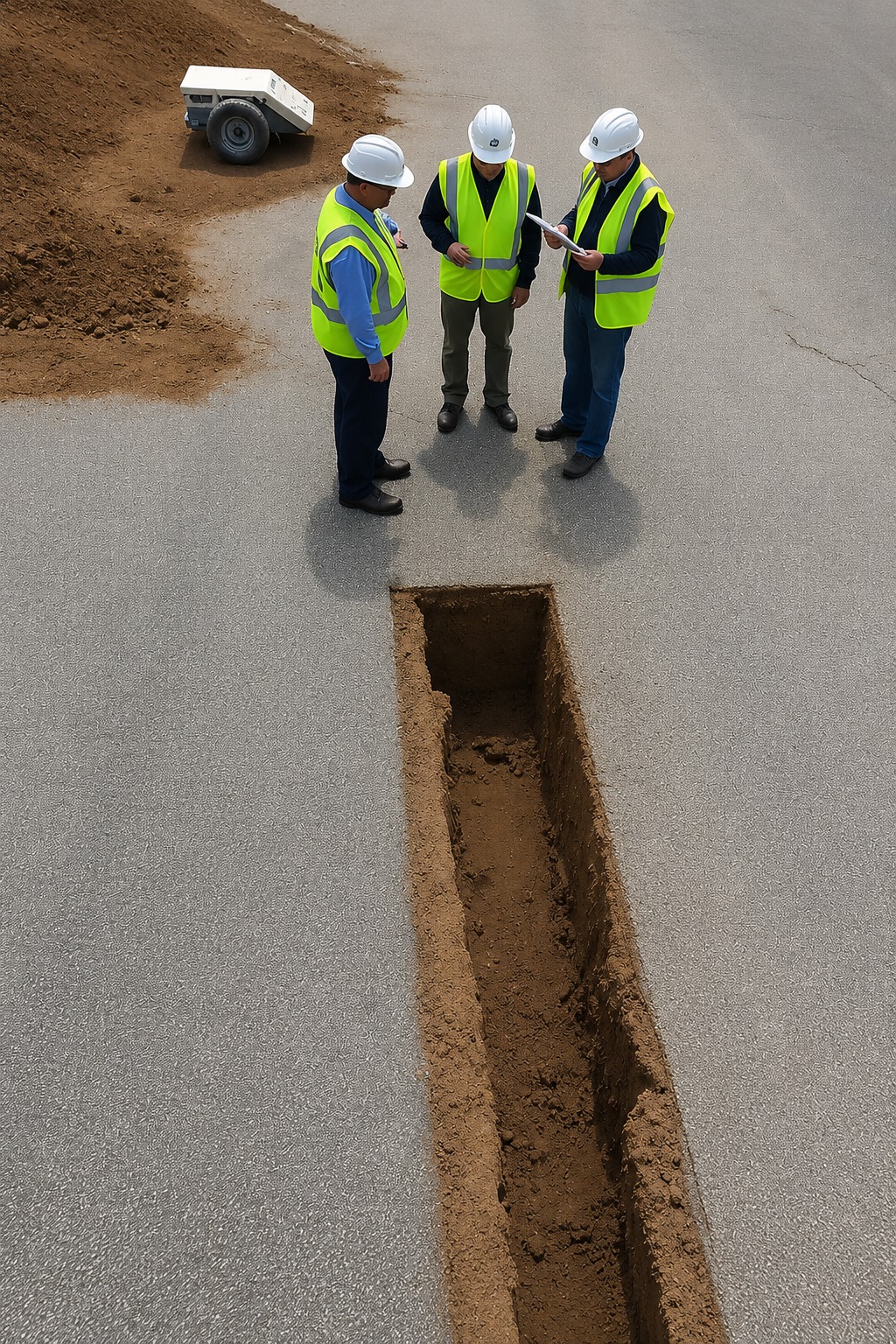
What Utility Mapping Services Are Available for Construction Projects in Seattle?
Seattle construction projects can benefit from a complete range of utility locating and mapping services, including private utility locating, underground utility mapping, GPR scanning, concrete scanning, utility marking, and GPS/GIS utility mapping.
Professional GPS/GIS utility mapping provides organized digital information about underground infrastructure, while concrete scanning services can help identify embedded features before drilling, cutting, or coring. These services can be selected according to individual project requirements.
By using reliable utility locating and mapping services, construction teams in Seattle can better understand underground conditions before work begins. Accurate information can support safer excavation, improved planning, reduced utility conflicts, and more efficient project execution.
Our Service Area?
Seattle
Spokane
Tacoma
Vancouver
Bellevue
Kent
Everett
Renton
Spokane Valley
Federal Way
Yakima
Kirkland
Bellingham
Kennewick
Auburn
Pasco
Marysville
Lakewood
Redmond
Shoreline
Richland
Olympia
Lacey
Edmonds
Puyallup
Lynnwood
Bremerton
Issaquah
Wenatchee
Mount Vernon
Longview
Walla Walla
Bothell
University Place
Pullman
Des Moines
Moses Lake
Sedro-Woolley
Oak Harbor
Bainbridge Island
Centralia
Aberdeen
Port Angeles
Anacortes
Ellensburg
Cheney
Kelso
Sunnyside
Prosser
Grandview
Battle Ground
Camas
Washougal
Ridgefield
Gig Harbor
Port Orchard
Shelton
Monroe
Lake Stevens
Ferndale
Our Reviews
What Our Customers Have to Say About Us!
Utility Locating & Mapping Washington provided excellent service from start to finish. The utility mapping was accurate, the team was professional, and everything was clearly explained before our excavation project began.

We needed GPR scanning and private utility locating for a commercial project, and the results were very helpful. The team was responsive, thorough, and made the entire process straightforward.
Great experience with Utility Locating & Mapping Washington. Their GPS/GIS mapping and utility marking helped our crew work with confidence. Professional service, clear communication, and reliable results.
The Process
Our Simple 3 Step Process

Contact Us
Start by completing the 'Get a Free Quote' form on our website to share your needs with us so we can take care of you.

Schedule Your Estimate
Next, we'll arrange a property visit at a time that works for you to provide an in-person estimate for your needs.

Get The Job Done
After you approve our estimate, we'll schedule a date to complete the job. Our team will work hard to exceed your expectations!
Request A Free Quote
BUSINESS
SERVICES
SERVICE AREAS
OPERATING HOURS
Sun: Closed
Mon: 7:00am - 7:00pm
Tue: 7:00am - 7:00pm
Wed: 7:00am - 7:00pm
Thu: 7:00am - 7:00pm
Fri: 7:00am - 7:00pm
Sat: 7:00am - 7:00pm